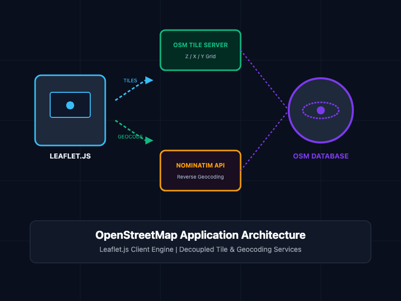
Proprietary mapping APIs like Google Maps enforce aggressive billing thresholds and data tracking constraints. OpenStreetMap (OSM) provides a privacy-first, open-source alternative for rendering interactive maps and spatial queries. This hands-on guide explains how to deploy OSM using Leaflet.js, query spatial data via Overpass API, and implement Nominatim geocoding in web applications. #OpenStreetMap #OSM #LeafletJS #GIS #WebDev #OpenSource #JavaScript #Geocoding #MappingAPI #Frontend



Our Products
oDesk Software Co., LTD
No products available right now. Check back soon or explore our services.